Iceland photo processing and sharing

There! I am done processing my pictures from Iceland.

For the quick version: I have a full set of ~250 pictures here: Iceland 2025, and a smaller “highlights” set of 36 pictures here: Iceland 2025 Highlights.

I have also sorted pictures by day (there’s nothing more in the “day” albums than in the large album), to go with the individual blog posts. I’ve added a link at the bottom of each post to the album; if you want “travel commentary” to go with the pictures, that’s probably the way to go! For reference:

I spent more time than usual thinking about the way to cull and process all these pictures; I had roughly 1500 DSLR pictures, to which I wanted to add a few of the pictures taken with phones (mostly selfies!) This definitely required a vaguely more thoughtful approach than “just get everything into a folder and sort and process my favorites”, as it would have felt like a very heavy process – divide and conquer for the win!

I first imported all the pictures on my hard drive and into Lightroom; that’s pretty much a given, and that took a non-trivial amount of time (I suspect my card reader may not be the fastest.) Then, I put everything into collections. I tend to use keywords rather than collections; I do remember that I had a rationale for putting things into collections rather than keywords, but I don’t remember what it was 😅 My collections were place-based, AND numbered. I heavily used the GPS coordinates stored by my camera to make sure that I was putting the right pictures in the right collection, and with that I arrived at 39 sets of pictures. Of these, I had four sets that were more than 80 pictures (with a max at 108), and the rest was below 60 pictures, which felt generally more manageable.

I started by getting a single “best-of” picture for each of these sets (a few of these didn’t make the cut already), and I processed these first. Worst case, I had a good set of 36 pictures – yay.

Then, I went through all sets individually, culling pictures that were identical to another one, or not necessarily representative, or just plainly bland. I typically did 2-3 passes on larger sets to get a tighter selection. Once that was done, processing/editing − that’s a fairly standard process, and I got better/faster at it with AlphabeticalZürich. I’m not necessarily *good* at it objectively (I possibly edit too dark and/or too saturated), but it yields images that I like, which is the most important thing.

Finally, I uploaded pictures to “day” albums as I went through them. After processing a full day, I went back to the phone pictures, I added selfies and other phone pictures that required an addition to the album, and I continued to the next set. I also added all the pictures of the “day album” to the global album.

And that’s pretty much it!

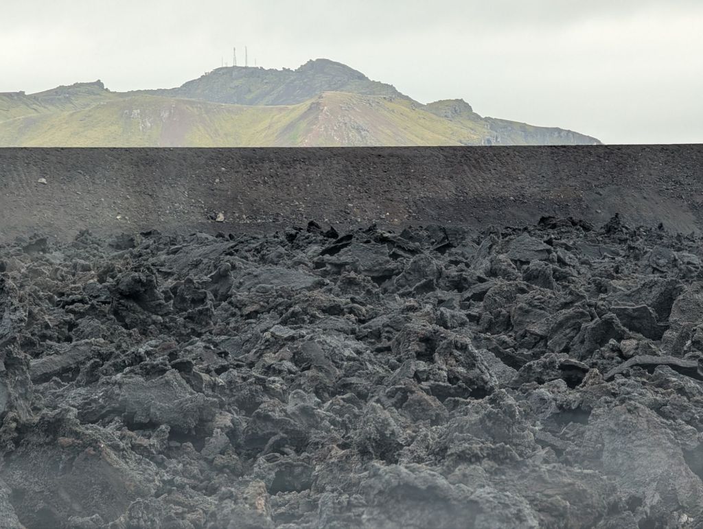
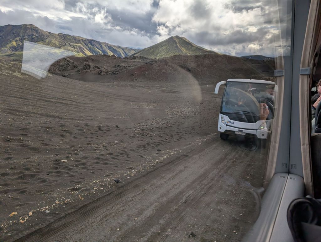
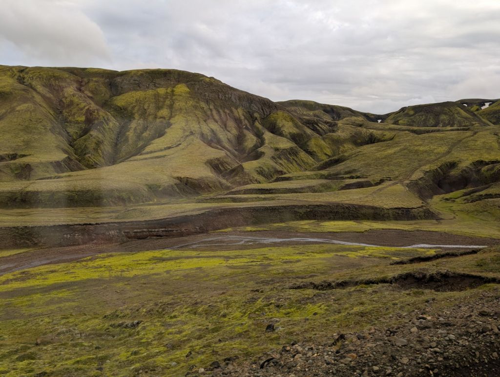
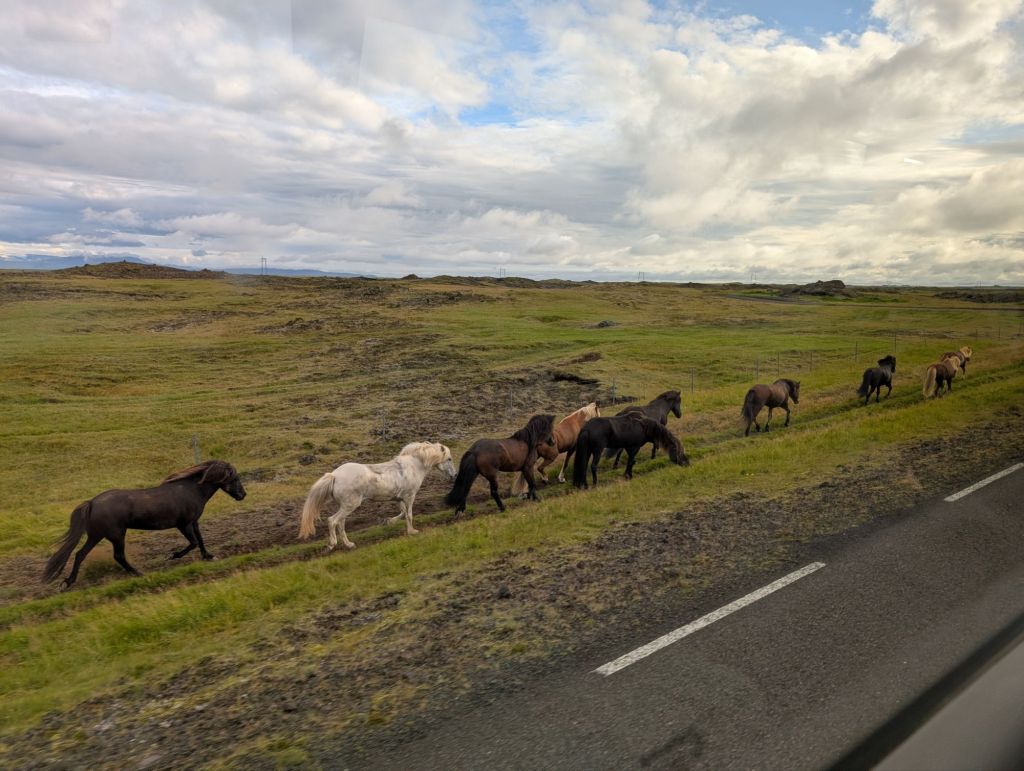
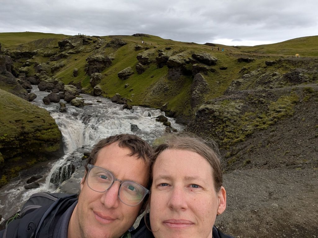
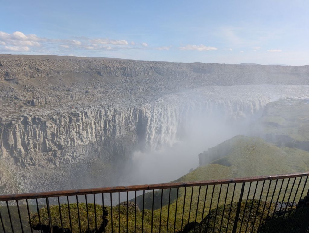
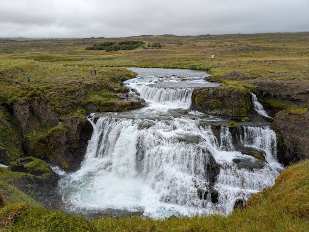
Let me add a picture to this blog post so that I have a thumbnail when I share it:

Brown and red mountains, with a clearly visible ridge/path in the middle; in the foreground, dark lava stones and some moss.
Landmannalaugar

Iceland – Day 12

Today is our last day, as we’re flying home at stupid’o’clock tomorrow morning. Hence, we travelled to our next hotel, which is very (very) close to the airport.

Instead of taking the most direct route, and stopping on a few stops along the way, we opted to go back to a couple favorites from 9  years ago. First stop, Geysir, which has, well, geysers. A few bubbly ones, a few dormant ones, some steam vents, and the current star of the show, Strokkur, which erupts every few minutes. We saw it multiple times during the time we were there, and as we were leaving, I went to try to get a video. I had a perfect spot with nobody in front of me… maaaaybe for a reason.

We ended up pretty soaked, to the point that we changed t-shirts and sweaters when coming back to the car! Maybe not our finest moment, but it was hilarious, and not everyone can say they’ve had a geyser shower.

After Geysir, we went to Þingvellir, which is both the place where the northern american and European tectonic plates meet (in first approximation, if I remember correctly it’s a bit more complicated than that) and the place where the parliament of Iceland met from 930 to 1798 (according to Wikipedia). And that place gives me literal goosebumps (in a good way).

A gravel path next to a vertical stone wall/structure

We walked along the path and it was nice and an easy path; lots of people, though (it is one of the very popular sites, very close to Reykjavik – nothing surprising there).

On our way to Keflavik, we decided to make a detour to approach Keflavik from the south, and to pass through the “new” lava field from 2024 next to the Blue Lagoon (we had checked earlier in the day that there was no warning or closure around the area and that it looked safe to do).

The lava field is impressive; all the other ones we’ve seen during the trip were covered with moss or other vegetation, this one is *raw* (and still smoking in some points).

A black lava field behind a dark gravel barrier, with a mountain in the background

We drove next to Grindavík, which is currently evacuated (and, I presume, consequently completely uninhabited), which was eerie and very sad.

Our last stop for the day and for the trip was the Reykjanes lighthouse, next to an impressive geothermal energy facility. The wind and state of the stairs (and general fatigue) made us renounce going up the lighthouse itself, but it was still a cool view point.

And there, we’re currently 3km away from the airport, the alarm-clocks are set to 4.30, and tomorrow we go home (and start sorting through ALL THE PICTURES).

The photo album for this day is here: Iceland – 2025-08-25.

Iceland – Day 11

Our plan for today was very specific and involved bus tickets booked at the same time as the whole trip. We took a bus to Landmannalaugar, a place we had visited 9 years ago under similar circumstances and were both eager to revisit.

We were a bit nervous yesterday when looking at the weather forecast; but evidently, we can’t read a weather forecast, as we were planning for the worst and had something very close to a perfect weather!

We left our apartment around 7:30; we had a 30-minute drive to the bus pick-up, and we wanted to grab breakfast and something for lunch before that too. We did all that, the bus arrived early, we boarded the bus, and onwards we were!

The main reason for taking a bus there is that the road is *brutal*. Not in terms of distance – Hella (where we took the bus) to the base station is a hundred kilometers. It’s also 2h45 by bus. The first 50km are not a problem. The last 50 are a track road that is unpassable unless you drive a 4-wheel-drive vehicle, and some argue you need a non-trivial one too (at the very least there’s a couple of streams to cross, and depending where you park a larger river). So that’s definitely not something we’d feel comfortable doing, even if we had rented such a vehicle – so bus it is!

The road is very bumpy but also very beautiful. We finally arrived at the base station (there’s a large camping area and it’s a large Serious Hiking Trail start point), looked at the maps, decided for the hike we wanted and had time to do, and off we went. We did end up doing a very similar trail to the one we did 9 years ago; we were both thinking that being willing to sit almost 6h on a bus (3h in each direction) to redo a hike that we had already done said something about how special that place is.

It is literally one of the most beautiful places I’ve ever had the privilege to visit – and I live in Switzerland. The only reason why I’m not saying “the most beautiful place” is because I did go to Grand Canyon as a kid, and it might come first. (Would need to check.)

Pictures (especially phone pictures that I haven’t processed myself) won’t give a good idea of the magnificence of that place, but have a few, still.

Colorful (brown/green/orange/yellow) mountains with a flat meadow and a few sheep in front of them
A red/rust-colored mountain, with the legs of a person eating a sandwich in the foreground, and lava pieces in the middle ground
Lunch break!
A black, green and rust mountain with parts of a lava field (dark irregular rock pieces) in the foreground

We considered trying to go a bit higher on this hike, there was a path to a lower summit, but looking at the path going up, knowing the path going down was steeper, and having a strict deadline for the bus home made us decide to not do that. It was the right move: the lava field after that was plenty challenging enough, and it would have been difficult for me after that extra part. We still did go to almost the foot of the path in question before giving up and going back to our main path.

After the hike, we were an hour early before the bus would start; we walked around a bit to the thermal source nearby where people were enjoying the hot water, and we flomped back in the bus at the first occasion.

And, just for completion, a couple of pictures from the road back, taken from the bus window!

View from a bus window. The bus is crossing a wide river. In the background, light brown and green mountains, very pretty.
Yes, that’s our bus crossing the water
View from a bus window. Crossing another bus, on a narrow road that has no paving and no gravel - a track, really.
Now that’s our bus crossing another bus. Unclear which is more challenging, honestly.
Some green and black mountains with pleasing curvy patterns, and a small stream of water in the foreground
But the landscape is pretty.
A herd of horses walking between an asphalted road and a green field
And we saw horses!

After the bus left us where we had left our car, we went for dinner (Midgard, great place), and drove home where we were back in the gloomy and windy weather. And both: tired 🙂

The photo album for this day is here: Iceland – 2025-08-24.

Iceland – Day 10

The theme of the day was probably “lava”! We started the day under, let’s say, challenging weather conditions (light rain, significant wind, gloomy atmosphere), so we were quite happy to start the day with an indoor activity, namely the Lava Show in Vík. Their spiel is “you get to see real lava!” and, indeed, you do. It’s a 1h show with an introduction, a small movie about volcano eruptions in general and Katla in particular, and then we get to the core of the show: they pour melting lava in the room, and demonstrate how it cools down. Is it gimmicky? Absolutely. Is it very cool? Well, not really because lava is really hot, but y’know, conceptually, yes, it’s very cool.

A dark room with a very bright liquid light in the middle and a man standing next to lava

We also got to see the furnace where they melt the lava, which was also pretty neat. Overall, the general memory is that my cheeks still feel kind of flushed from the heat! (They’re probably not. The memory is there.)

After the show, the weather was still gloomy; we still made way to the “more dangerous” black sand beach.

A display with three lights of three colors (red, yellow, green) on top, and indications on whether the beach is safe. The yellow light is lit, meaning that one should stay within a specific area of the beach.

That beach is known for very dangerous waves, and there’s been a few accidents recently. There’s a set of lights that indicates where it should be safe to go, and here it was okay to go at the beginning of the beach (there was a map with the area to avoid), so we did that.

There’s actually less sand and more pebbles than on the other side of the mountain, but the waves are indeed more impressive (although we didn’t see anything awe-inspiring – probably for the best!). And we saw more puffins!

We do expect to have significant weather tomorrow, so our plan was to go to the Lava Center a bit after our next hotel (our planned road was much smaller today) and not get tired of the weather just yet. But there was a neat waterfall on the way, so we stopped, and the weather was significantly better by then, so we hiked 😛 The hike started with a 500-step stair (ow), but apart from that it was reasonable. And we did get not one, not two, but three waterfalls for the price of one!

A selfie of a man and a woman smiling awkwardly in front of a waterfall

We still made plans with the objective of being able to visit the Lava Centre in Hvolsvöllur, and we did manage to do that. It’s a small but well-made museum on the various ways Iceland tends to emit ash and lava; I missed a bit of more technical information on actual lava rather than volcanoes, but it was still a nice visit. There was also a series of video interviews from people who got recently evacuated from Grindavík after the recent eruptions, and it was moving.

After the museum, we had a bit of time to kill before our restaurant reservation. We ended up popping by Efra-Hvolshellar, a place where there’s a few old (settlement time or earlier, apparently) man-made caves. It was kind of creepy-weird, but it was fun to see.

A dark tunnel dug into rocks, with the end of the tunnel providing the only light

Finally, we went for dinner and went back to our lodging (this night and the next we’re in a kind of studio in a group of cabins, and there’s no restaurant there). We ended the day by preparing the bags for tomorrow: we’re going to Landmannalaugar (where we kind of expect challenging weather), by bus because the road to there is not one we can drive on (especially with the car we rented!).

Oh, and today I finished my first 64G memory card in my camera. Good thing I had planned for that eventuality. Future me is wincing at the idea of sorting all this 🙂

The photo album for this day is here: Iceland – 2025-08-23.

Iceland – Day 9

Today’s highlight was, without hesitation: we saw icebergs!

A lake with some ice-blue icebergs and some white ones, and a glacier in the background

We went to a place called “Diamond Beach” – some pieces of the glacier occasionally fall in the nearby lake (the picture above), follow a path to the sea, and sometimes end their trip on the beach, where they’re quite impressive (and, depending on the type of ice and the light, definitely diamond reminiscent).

This place gave me a lot of feelings – yes, it’s stunning, but it’s also quite depressing when one thinks about it, and with that comes the guilt associated with being part of the problem, as a tourist. Still, I’m very grateful that I got to see this, and hey, I’ve seen icebergs, I didn’t even know it was on my bucket list 🙂

Our next step was a bit further down that road, in Fjallsárlón – another place with icebergs, but with a better view of the glacier. Very cool, and far less crowded, which I appreciated.

Then, we drove to Skaftafell, where we wanted to go for a small hike. We pondered two options, a shorter and easier one, and a slightly longer and with more ascent; the latter won due to promising a waterfall (I’m weak.) The hike was pleasant, but less so than yesterday’s, possibly due to the larger amount of people around (and/or existing fatigue). It was still very nice, and the waterfall at the end was pretty and had cool basalt columns behind it. After the hike, we were both hungry, so we shared a fish&chips at the camping site – it was surprisingly good!

As our last step of the day, we popped a head at the “non-dangerous black sand beach” (the one on the other side of the mountain apparently has genuinely dangerous waves). I was tired and I was cold, but I still really liked the beach and the rock structures behind it.

The shore of a black sand beach, with a wave rolling in the foreground. In the background, some rocks, including a structure of 3 pointy rock formations. The picture is dark and moody.

We had dinner at the hotel, where both the food and drinks were great, and that’s it for today! There’s exactly 0 chance of northern lights tonight considering the clouds. For tomorrow, we have tickets to the “Lava Show” here in Vík, we’ll get to see real hot lava made for the show 🙂

The photo album for this day is here: Iceland – 2025-08-22.

Iceland – Day 8

We woke up early this morning, and Pierre went for a run. So I was first under the shower and: achievement unlocked, first egg shower of the trip! We had strong memories of hot water really smelling like sulphur on our first trip, but we hadn’t experienced it yet on this one – this is now fixed 😀

Our first hesitation of the day was pondering whether we wanted to go to Hengifoss, which seemed to be a beautiful waterfall, but slightly out of our way. Additionally, some of the comments on Google Maps made me fear that the hike would be beyond my abilities. But I was reasonably rested, the waterfall did look very pretty (and high), it was still quite early in the day – so we decided to go.

I was fairly reassured when we arrived at the parking lot at the bottom of the hike: it looked FEASIBLE. Not easy, but feasible. And indeed, the ascent didn’t pose much of a problem – slow and steady wins the hike, etc etc. And the waterfall was splendid.

A waterfall between two 45° slopes, in front of a striped black and red stone wall

Going down was somewhat more challenging (I’m not very good at uphill, but I’m very bad at downhill), but we still managed with ALMOST NO DRAMA and overall it was a great hike.

We got a piece of cake and a coffee at the café next to the parking lot as a reward (and, most of all, as an essential break) before deciding what to do next.

Our next candidate (and next hesitation) was Petra’s Stone Collection. We were both very interested, but it did require going back all the way to our starting point, rather than being able to catch another more direct road south. We finally decided to do that, and am I glad we did.

It’s the private collection of a woman, Petra Sveinsdóttir, who collected stones during her whole life and displayed them in her home and garden. She passed away in 2012, but the museum lives as a family endeavour, and the whole thing brought me so much joy to see – such a labor of passion and love is to be commended. And obviously the collection itself is both impressive and has stunning pieces.

This is just a small corner of a part of the whole exhibition (and we have Pierre hiding in the middle of… pierres 🙂 ) (yeah that one only works in French) (he’s also been called a rock star, so that works). Anyway, I’m so happy that I got to see this place, which felt really special.

For the rest of the day, we mostly drove down the coast, enjoying the wonderful landscapes – this coast line is incredible. It did help that we had great weather, but still.

We did a last stop at the lighthouse in Hvalnes, which has a very nice view over the sea and the surrounding mountains too.

And we arrived tonight at our hotel, which has a clear view over Vatnajökull, the glacier which is the largest ice cap in Iceland (it covers roughly 10% of the country!). We had dinner, a sunset stroll around the hotel, and had a drink at the hotel bar, which had a good view over the nearby mountains and said glacier.

Little hope of northern lights tonight, the cloud layer that’s been absent for a large part of the day spawned around sunset time…

The photo album for this day is here: Iceland – 2025-08-21.

Iceland – day 7

Today was much lighter, visits wise, partly because we had a bit of adventures in the morning. Yesterday, the car started complaining about the tire pressure – not something one wants to be sloppy about, especially on these roads. Hence, the first stop this morning was a gas station for, well, gas, and tire pressure. At first, I couldn’t see a tire pressure device anywhere, so I asked the person at the attending shop, who told me “it’s on the side of the building” and gave me a small metallic device.

Somewhat confused, we go to the side of a building, and find a/ a cupboard with a manometer, but locked b/ an air pipe without a manometer. After another confused conversation with a local who didn’t seem to understand why we couldn’t read the tire pressure, we went back in the shop, and the nice lady at the register explained to us that the mysterious metallic device was, indeed, a manometer. Behold:

A metallic tube with a small round end and a plastic looking ruler with PSI graduations sticking out of it

Yes, it’s a manual linear manometer expressed in PSI. We were not expecting that for sure. But once we got that piece of information, we checked the tire pressure and went on our merry way (after giving back the manometer and our thanks to the shop clerk).

We were on our merry way… not for very long, though, because we hadn’t looked well enough at the road condition website (“it’s summer and we’re on the main road of the country, what can possibly go wrong?”) and it turns out that the bridge over the river of the large fall we saw yesterday was closed multiple hours a day for road works.

A white suspension bridge over a river, with a line of cars waiting behind it. The bridge is closed for works.

We arrived there around 11:15, and the closure was planned until 12:00, with no obvious choice of anything else to do than wait. So we did that, the closure ended a bit earlier than expected (surprising the second person in the queue who ran back to their car), and we were on our merry way… again.

Our first “real” stop of the day was at the Stuðlagil Canyon, where we enjoyed the view over the river and the impressive basalt structures. There was a set of paths and platforms on our side of the canyon, with more hiking paths on the other side (there was a bit of regret of not having gone to the other side, but oh well) and the view was super impressive. And not only because the island in the middle looked like a gigantic alligator.

A powerful grey river next to a basalt columns wall; there’s two additional basalt islands in the middle of the river, including one that looks like a gigantic stone alligator

After this, it was already quite later than what we had expected. There was another possible stop on our path to our other main stop, and the words “we’ll time box the waterfall” may have been pronounced today. It was indeed a quick stop along the ring road, but Rjúkandi was a pretty waterfall.

Our last objective for the day was to go see Hafnarhólmi, known for being a breeding ground for puffins and other birds (although it was slightly too late for the season). Mostly, the road to there was supposed to be spectacular, and there was also many hiking paths in the vicinity. We didn’t have time for the hiking paths, but the road was indeed wonderful: the mountain pass next to the see made us stop multiple times and gush with awe all along the way.

Hafnarhólmi was a nice place, with some installations to be able to watch birds from inside. We saw a lot of gulls, but it was definitely not puffin season. We did see one from afar, however! and decided the mission was a success.

Following that, we drove to our hotel in Egilsstaðir, where we settled and had a great dinner and went for a very short stroll around the hotel  to see the lake. We had some hope to see Northern lights tonight, but it seems the cloud layer is disagreeing with that hope. Maybe later!

The photo album for this day is here: Iceland – 2025-08-20.

Iceland – Day 6

We’re staying another night in the hotel we reached last night; and today we didn’t go that far away from our home base, but we still did a lot of things!

We had a few spots we wanted to get to, and we had seen many other possibilities in the region. We had some worries this morning because at first it looked like the road to Dettifoss might not be easily accessible with our small car, but the information that we had first found was outdated, and the road was a beautiful paved road all along.

We left shortly after these breakfast worries to go a few kilometers away to have a look at the Skútustadagrig pseudo-craters – pseudo-craters because they haven’t been created by a magma chamber but by a steam explosion when lava came in contact with the lake. Beautiful area, cool formations, and amazing views on the Mýtavn lake.

A bit further away, Höfði was a small hike in a woody area which, considering the low amount of trees in this country, is somewhat of an oddity. The viewpoint at the end of the wood was lovely, and it was a nice and quiet moment.

An island in the middle of very blue water, with some mountains in the far background

Next was one of our “must do” for the day: the lava field in Dimmuborgir. It was apparently a “must do” for many people, because this may well be the place where we’ve seen the most tourists so far! And it’s not surprising: it’s a really peculiar place. It’s full of lava pillars that were formed as a lava lake drained and steam erupted, and there’s a lot of structures that really feel unique. The site is well developed with multiple paths of various lengths going through the lava field. Walking around these was definitely a great experience (we may or may not have made Astrosmurf references.)

Our next “must see” was Dettifoss, and we decided to go there immediately after that since it was already the beginning of the afternoon. We made a very short stop on the way when we saw a lake with an amazing blue/turquoise color next to a geothermic power plant.

The shore of a very blue lake with, in the background, a triangular mountain and some buildings emitting a thick white smoke

After a few dozens of kilometers in a landscape that I’d qualify as “desolate”, we arrived at the Dentifoss site. Dentifoss is the second largest waterfall (in terms of water volume) of Europe (the first one being the Rhine falls in Switzerland). I’ve been to the Rhine falls, and the weirdest thing about Dentifoss is how long it takes before you actually see water. We saw the rainbow of the fall much before seeing any water at all, and the surrounding area looks very dry (it’s mostly basalt columns everywhere).

A field of rocks ending on a hole, with another rocky wall visible in the background. A rainbow is jumping from the hole, along with a visible mist. No water is visible apart from the mist.

But Dentifoss itself is awe-inspiring. I was speechless when we reached it, and for a while after that I could only make incomprehension noises and gestures.

A large and powerful waterfall in front of a rock wall made of multiple vertical stripes.

It’s powerful, it demands respect, it’s incredibly beautiful. The water is an opaque grey, probably from the rock around, and the swirls before the waterfall are mesmerizing.

We walked to Selfoss as well, which is on the same site; and Selfoss is probably suffering from the comparison with its big sister. It’s still a grandiose waterfall (after all, the water volume is comparable, even if it’s not split exactly in the same way), and the area just before the waterfall is beautiful.

Our initial hope was to be able to reach the canyon in Ásbyrgi, but it was too tight, timing-wise, to be sure to be back in our hotel vicinity for dinner time. Instead, we drove back to where we were coming from, and did a stop in Námafjall – we had seen the site from the road on the way, and it looked interesting. Interesting it was, but beware the smell! It’s a geothermal site with a lot of fumerolles and clay pots, and it’s super impressive to see the gray clay boil. The steam coming out of these was also impressive. A great visit, but the strong smell (more than sulfur in there, we think) can be at times overwhelming.

Multiple small grey smoking craters on a flat grey and yellow ground, with mountains in the background

Finally, we still had a bit of time before we had to go back, so we went to see the Krafla crater that was basically on the other side of the road. It’s also the site of a geothermal power plant, and we were both fascinated by the industrial infrastructure around it, pipes going down the volcano and high pressure steam coming out of the vents. The crater itself was also beautiful, with some water at the bottom, and very cool to see from above.

With that, we reached the end of our day; we had dinner at a hotel next to ours – the food was tasty (I particularly liked my broccoli soup), if not super memorable. And we’re back to the hotel, I’m hurting a bit everywhere (it’s been two fairly intensive walking days!) but I’m incredibly happy with the great day we’ve had today.

The photo album for this day is here: Iceland – 2025-08-19.

Iceland – Day 5

We had a significant amount of road of today’s programme, because the minimum amount of driving was 270km for 3h21. We ended up doing more than that and visited many things along the way: we left the previous hotel around 9h30 and we arrived at today’s hotel at 19h15!

We started with a first stop in Kolugljúfur Canyon, which was, as expected, a canyon. Beautiful place with a waterfall ending in a river flowing inside a canyon.

We then drove to Þingeyraklausturskirkja, which promised a small church with a beautiful panoramic view, and it didn’t disappoint. The church was unfortunately closed (I would have liked to see the inside!), but the panoramic view didn’t disappoint!

Nearby (basically going back to the main road and crossing it), we did a stop at the Vatnsdalshólar view point. Google Maps had a lot of pictures of a dog, and said dog was indeed in the vicinity and very friendly 🙂 There was a small hill with a staircase that had a very nice view over the nearby water and the field of hills behind it.

By that point, we hadn’t moved very far from our departure point towards our goal, so we drove a bit more of the main road, with the goal of stopping at Reykjafoss.

Reykjafoss is a beautiful waterfall, and probably my favorite one of all the ones I saw today. It’s absolutely gorgeous, and the river that feeds it is surprisingly quiet. Of note: there’s also a hot pot on the side of said river, so we crossed paths with a least a pair of people in bathing suits and there was a few more around 🙂 It’s also very close to a stable, so there’s quite a few horses around.

A gorgeous waterfall that splits into several streams over three levels

After Reykjafoss, we aimed for our next stop, but did an extra one near Hörgarsveit, which was a decent parking lot on the Ring Road, where we wanted to switch drivers (I don’t drive that much, but I’m trying to drive a bit more so that Pierre can rest a bit!). That bit didn’t work that well because I had to yield the wheel earlier than I would have liked (but my drowsiness level was becoming dangerous 😦 ), but Hörgarsveit was a nice road stop, with a river flowing down a canyon. Officially there should be hiking trails starting there, but the bit we saw looked frankly too dangerous for us.

Goðafoss was our last planned stop for the day; an impressive waterfall (although carrying a significant amount of particles), with very well organized paths on both sides of it. A very enjoyable site (and sight!).

A wide and powerful waterfall between two rock walls

By then, we were half an hour away from our hotel, which was a good thing as we had a restaurant reservation there 45 minutes later. We arrived in the beautiful area of the Mývatn lake in time for the evening light. We had dinner at the restaurant hotel  (good stuff and well prepared), went outside for a little bit to enjoy the evening view – vaguely spoiled by the amount of insects; this is going to be a problem tomorrow, probably. Still, the area looks amazing.

Back in our hotel room, I realized sunscreen would have been smart today (oops), and Pierre stumbled upon Ghostbusters on the TV (so I watched the end of Ghostbusters, which apparently I know by heart more than I thought), and that’s pretty much it for today!

The photo album for this day is here: Iceland – 2025-08-18.

Iceland – Day 4

We left our friends after breakfast and drove to Víðgelmir, a lava cave, where we enjoyed a guided tour. All caves I had visited so far were caves dug into the rock by water; this one was made by a river of lava whose exterior cooled while the lava inside continued flowing and draining.

It was fascinating to see the differences and similarities of structures – fluid, whether lava or water, will still do similar things, but also leave different patterns – and different colors and geology too. Our guide was also very entertaining, and overall we were delighted with the visit.

Not too far away, there’s also the waterfalls of Barnafoss and Hraunfossar (both on the same site). Barnafoss is a powerful waterfall that goes below a stone arch, it’s impressive and very picturesque. But my heart definitely goes to Hraunfossar and its gazillion of waterfalls coming from the rocks – as far as I understand, the aforementioned lava river flew over the water, but water still had to go somewhere, and that’s Hraunfossar.

A cliff with many many waterfalls spawning from the middle of it and flowing on lower levels

At that point we were both a bit hungry, so we got a couple of slices of cake at the Hraunfossar café – they were much appreciated!

We went back on our tracks to get back to the ring road and continue our way towards Laugarbakki where our next hotel is. We enjoyed the beautiful scenery on the road, stopped a few times for pictures, and arrived there around 5PM.

We made a small break in the room, and I debugged my photography backpack: I had in my mind that it was much easier to put the camera back, and after a few tries in a quiet place with a mirror, I figured out the trick again (I need to lift the camera pocket a bit so that it slides correctly in its place).

We had some time before dinner, so we decided to get out again for a little bit – initially, the plan was “get out, go see the horses nearby, and then we’ll see”. We did end up doing a much larger loop than that, following a path that had indicators but not much of a ground track: small hike, but large adventure 😛 But I managed to not hurt myself despite the fairly challenging terrain: yay me!

To end the day, we had dinner at the hotel restaurant; the selection of “icelandic tapas” and both our mains were excellent; the desserts were good but less memorable. And now we’re just chilling in the room – we have a fairly long road planned for tomorrow!

The photo album for this day is here: Iceland – 2025-08-17.